United States

Sierra Vista Southeast

Sierra Vista Southeast

Sierra Vista is a city located in the southeastern part of the United States. Nestled in the state of Arizona, it is surrounded by breathta…

Best for you if…

  • A 4–5 day trip
  • Hiking travelers
  • Bird-watching travelers
  • Visiting in Spring
Recommended stay
3-5 days
Best time
Spring
Walkability
Moderate
Guide depth
Deep guide
More about this guide

Sierra Vista Southeast is a strong pick for hiking & bird-watching — plan about 3-5 days. Peak season: Spring.

Deep guide guide · about 4 min to read · depth score 90/100 (coverage of intro, tips, and mapped places)

Moderate density — A mix of walkable clusters with some longer hops. (≈32.9 km span)

36 Places to explore
3-5 Recommended days
Spring Best season
8 Nearby places

Find nearby destinations

When to go

High season: Spring

JAN
FEB
MAR
APR
MAY
JUN
JUL
AUG
SEP
OCT
NOV
DEC

Best months for lower-cost travel: January · February · November · December

Weather

Fall

15-25°C

Spring

20-30°C

Summer

30-40°C

Winter

5-15°C

How to get there

How to Reach Sierra Vista Southeast in the United States

Sierra Vista Southeast is a charming community located in the southeastern part of Arizona, United States. If you're planning a visit to this beautiful region, here are a few ways to reach Sierra Vista Southeast:

By Air:

The nearest major airport to Sierra Vista Southeast is Tucson International Airport (TUS), which is approximately 70 miles northwest of the town. From the airport, you can rent a car or take a shuttle service to reach your destination. Several domestic and international airlines operate flights to Tucson International Airport, making it a convenient choice for travelers.

By Road:

If you prefer traveling by road, Sierra Vista Southeast can be easily accessed via Interstate 10. From Tucson, take I-10 eastbound and continue for about 65 miles until you reach the exit for Arizona State Route 90. Take this exit and follow the signs to Sierra Vista Southeast. The drive offers picturesque views of the surrounding desert landscape.

By Bus:

Greyhound and other bus services provide transportation to Sierra Vista Southeast from various cities across the United States. Check the bus schedules and routes to find the most convenient option for your journey. Once you arrive at the bus station in Sierra Vista Southeast, you can explore the town on foot, rent a car, or use local transportation services.

By Train:

Unfortunately, Sierra Vista Southeast does not have a train station. However, you can take an Amtrak train to Benson, Arizona, which is approximately 25 miles north of Sierra Vista Southeast. From Benson, you can arrange for a taxi or rental car to complete your journey to the town.

No matter which mode of transportation you choose, reaching Sierra Vista Southeast is relatively straightforward. The town's serene atmosphere, breathtaking landscapes, and proximity to attractions like the Coronado National Memorial and Fort Huachuca make it a worthwhile destination to explore.

Getting to know Sierra Vista Southeast

Sierra Vista is a city located in the southeastern part of the United States. Nestled in the state of Arizona, it is surrounded by breathtaking landscapes and natural wonders. The city offers a unique blend of small-town charm and modern amenities, making it an ideal destination for tourists and residents alike.

Sierra Vista is known for its pleasant climate throughout the year, with mild winters and warm summers. This makes it a perfect place for outdoor activities such as hiking, biking, and exploring the numerous parks and trails in the region. The city is also home to lush golf courses, providing enthusiasts with plenty of opportunities to improve their swing.

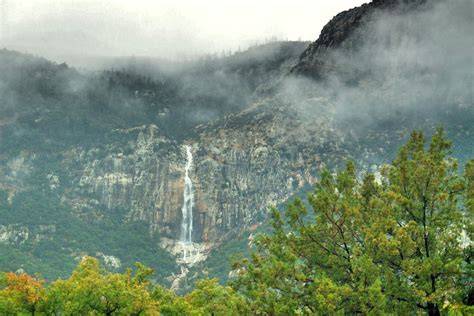
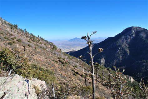
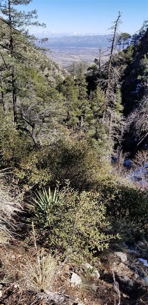
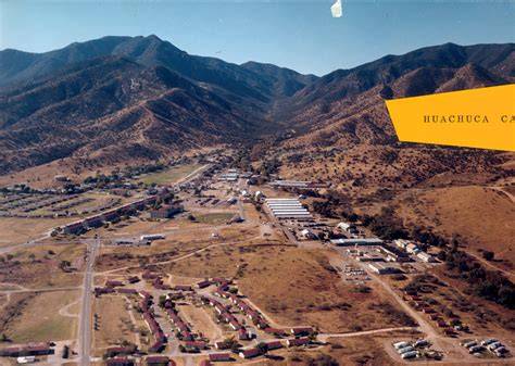
One of Sierra Vista's main attractions is its proximity to the scenic Huachuca Mountains. These majestic peaks offer stunning views and serve as a gateway to various outdoor adventures. Visitors can embark on a journey through the Coronado National Forest, where they can witness diverse wildlife, pristine streams, and cascading waterfalls.

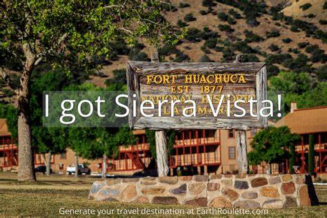
Moreover, Sierra Vista is renowned for its rich history and cultural heritage. The city is proud to be the location of Fort Huachuca, an active military installation that played a crucial role in the Apache Wars. The fort now serves as a museum, providing a glimpse into the area's vibrant past. Additionally, Sierra Vista hosts a number of annual events and festivals, showcasing the city's unique blend of cultures and traditions.

Pre-trip checklist

Compiled from local tips, stay length, and season notes.

Local tips

  • Don't forget sunscreen
  • Carry plenty of water
  • Wear comfortable shoes

Places worth exploring

36 places mapped for this destination

0–1
1–3
3–8
8–20
20+

Walking loops

Evening strolls, half-days, and fuller day loops — clustered by proximity.

Suggested 3-day outline

Places ordered by proximity into day buckets. Add what you like to your trip.

Frequently asked questions

Answers compiled from stay length, season, and local tips for this guide.

How many days do you need in Sierra Vista Southeast?

Most travelers spend about 3-5 days in Sierra Vista Southeast, United States.

When is the best time to visit Sierra Vista Southeast?

High season is typically Spring.

Which months are more budget-friendly in Sierra Vista Southeast?

Travelers often find better value in January, February, November, December.

What kind of trip is Sierra Vista Southeast good for?

Sierra Vista Southeast suits Hiking, Bird-watching, Exploring historical sites.

Is Sierra Vista Southeast walkable?

A mix of walkable clusters with some longer hops.

Any local tips for Sierra Vista Southeast?

Don't forget sunscreen

Build your trip

Add Sierra Vista Southeast and the places you want to see — your itinerary stays on this device.

Compare with another place Multi-city routes

Multi-city ideas

Nearby combinations sharing travel styles. See all routes

  • Sierra Vista Southeast → Bisbee → Douglas · ≈65 km
  • Sierra Vista Southeast → Sierra Vista → Huachuca City · ≈23 km
  • Sierra Vista Southeast → Huachuca City → Sierra Vista · ≈31 km

Same vibe

Destinations sharing travel styles, stay length, or region.

Explore nearby

Nearby places worth adding to your trip

Sierra Vista

United States

15 km · Best: Spring · 3-5 days · Moderate

Sierra Vista: A Beautiful City nestled in the United States Situated in the southeastern part of Arizona, Sierra Vista is a stunning city r…

Huachuca City

United States

23 km · Best: Spring · 3-5 days · Moderate

Huachuca City is a small town located in Cochise County, Arizona, United States. It is situated in the southeastern part of the state, near…

Bisbee

United States

30 km · Best: Spring · 3-4 days · Moderate

Bisbee is a small town located in the southeastern part of Arizona, United States. Situated in Cochise County, it is nestled in the Mule Mo…

Naco

Mexico

30 km · Best: November to April · 5-7 days days · Compact

Located in the state of Chihuahua, Mexico, Naco is a picturesque town nestled between the Sierra Madre Occidental and the Chihuahuan Desert.

Naco

United States

30 km · Best: December to March · 5-7 days · Moderate

Naco is a small community located in the southeastern part of Arizona, United States. It is situated right on the border between the United…

Whetstone

United States

32 km · Best: Summer · 5-7 days · Moderate

Whetstone is a small town located in the United States. Situated in the southern region of Arizona, it is a hidden gem nestled against the…

Tombstone

United States

38 km · Best: Spring · 3 days · Moderate

Tombstone is a historic city located in southeastern Arizona, United States. It gained fame for its role in the Wild West era and the legen…

Sonoita

United States

47 km · Best: Spring and Fall · 3-5 days days · Spread

Sonoita is a small unincorporated community located in Santa Cruz County, Arizona, United States. Situated in the southern part of the stat…