
How to Reach Toa Alta, Puerto Rico
Toa Alta is a charming town located in the northern region of Puerto Rico. If you are planning a visit to this beautiful destination, here are some ways to reach Toa Alta:

Toa Alta is a municipality located in the northern coast of Puerto Rico. It is situated in the northern region of the island known as the "…
Best for you if…
Toa Alta is a strong pick for historical sites & beaches — plan about 5-7 days days, with sights close enough to walk between. Peak season: December to April.
Solid guide guide · about 4 min to read · depth score 69/100 (coverage of intro, tips, and mapped places)
Compact density — Walkable and compact — many sights sit close together. (≈2.5 km span)
High season: December to April
Best months for lower-cost travel: May · September · October
September to November - Average temperature: 80°F (27°C)
March to May - Average temperature: 79°F (26°C)
June to August - Average temperature: 82°F (28°C)
December to February - Average temperature: 75°F (24°C)
Toa Alta is a charming town located in the northern region of Puerto Rico. If you are planning a visit to this beautiful destination, here are some ways to reach Toa Alta:
The most convenient way to reach Toa Alta is by flying into Luis Muñoz Marín International Airport (SJU) in San Juan, the capital city of Puerto Rico. Once you arrive at the airport, you can rent a car or take a taxi to Toa Alta, which is approximately a 30-minute drive away.
If you are already in Puerto Rico or prefer to drive to Toa Alta, you can reach the town via the PR-2 highway. From San Juan, head west on the PR-2 and continue for about 15 miles until you reach Toa Alta. The drive offers scenic views of the island's lush landscapes.
Toa Alta is also accessible by public transportation. From San Juan, you can take a bus from the Roberto Clemente Bus Terminal to Toa Alta. The bus ride takes approximately 45 minutes, depending on traffic conditions.
If you prefer a unique mode of transportation, you can take the Tren Urbano (Urban Train) from San Juan to Bayamón, which is a neighboring municipality of Toa Alta. From Bayamón, you can then take a taxi or bus to reach Toa Alta.
Although there are no direct ferry routes to Toa Alta, you can take a ferry from San Juan to Cataño, which is another neighboring municipality. From Cataño, you can then take a taxi or bus to reach Toa Alta.
Regardless of the mode of transportation you choose, once you arrive in Toa Alta, you will be greeted by its warm hospitality, rich history, and breathtaking natural beauty. Enjoy exploring the town's landmarks, such as the Iglesia San Fernando Rey and the Casa Alcaldía, as well as its vibrant culture and delicious cuisine.
Toa Alta is a municipality located in the northern coast of Puerto Rico. It is situated in the northern region of the island known as the "Karst Country" due to its limestone hills and caves. With a population of approximately 72,000 residents, Toa Alta is one of the oldest towns in Puerto Rico, founded in 1751. Its name comes from the Taíno word "Toa," which means "brave chief."
Known for its rich history and cultural heritage, Toa Alta has various historical sites and landmarks that attract both locals and tourists. One of the main attractions is the Santa Elena Sugar Mill, a former sugar plantation that operated during the 19th century. Today, it serves as a museum and offers visitors a glimpse into Puerto Rico's agricultural past.
The town is also home to several beautiful churches, including the San Fernando Rey Parish Church, which was built in the 18th century and is considered a historic treasure. Its architecture showcases a blend of Spanish and Caribbean influences, making it a must-visit for those interested in colonial-era structures.
Additionally, Toa Alta boasts stunning natural landscapes. The Río La Plata, a river that runs through the municipality, offers breathtaking views and opportunities for outdoor activities such as kayaking and exploring its surrounding lush vegetation. The town is also known for its karst hills, which provide a unique backdrop for hikers and nature enthusiasts.
Compiled from local tips, stay length, and season notes.
6 places mapped for this destination


Evening strolls, half-days, and fuller day loops — clustered by proximity.
~0.2 km · 2 places
~1.3 km · 3 places
~1.3 km · 3 places
~4.4 km · 2 places
Places ordered by proximity into day buckets. Add what you like to your trip.
~0.2 km path
~12.2 km path
~4.4 km path
Answers compiled from stay length, season, and local tips for this guide.
Most travelers spend about 5-7 days days in Toa Alta, Puerto Rico.
High season is typically December to April.
Travelers often find better value in May, September, October.
Toa Alta suits Historical sites, Beaches, Nature hikes, Cultural festivals.
Walkable and compact — many sights sit close together.
Try local cuisine like mofongo and alcapurrias
Add Toa Alta and the places you want to see — your itinerary stays on this device.
Nearby combinations sharing travel styles. See all routes
Destinations sharing travel styles, stay length, or region.

Mexico
Cepeda is a lively and culturally rich place located in Mexico. Situated in the central part of the country, Cepeda offers a unique blend o…

Mexico
31 De Octubre, Mexico is a vibrant and culturally rich place located in the heart of Mexico. This town is known for its festive atmosphere…

Mexico
` tags: ```html Aguilera is a vibrant town located in the heart of Mexico, known for its rich cultural heritage and stunning natural landsc…
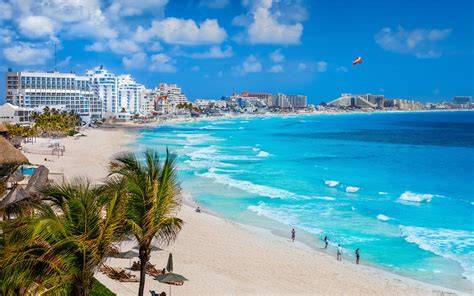
Mexico
Andrés Quintana Roo was a prominent figure in Mexican history and politics. He was born on November 30, 1787, in Merida, Yucatan.

Turkey
Located in Turkey, Acigoel is a captivating place that offers a unique blend of natural beauty and cultural heritage. Nestled amidst pictur…
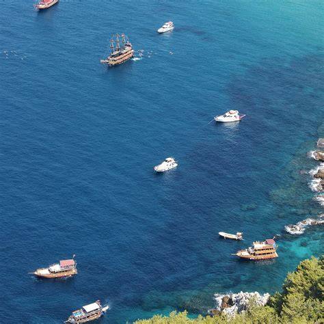
Turkey
Nestled in the heart of Turkey's scenic landscape, Anayazi is a captivating destination that beckons travelers with its enchanting charm an…
Nearby places worth adding to your trip

Puerto Rico
Rio Lajas is a stunning natural treasure nestled in the Caribbean island of Puerto Rico. Located in the south-western region of the island,…

Puerto Rico
Galateo Puerto Rico is a small town located on the northeastern coast of Puerto Rico. Nestled between the sparkling waters of the Atlantic…

Puerto Rico
Mucarabones, Puerto Rico: A Hidden Gem Nestled in the Heart of Nature Welcome to Mucarabones, a captivating destination tucked away in the…

Puerto Rico
Candelaria is a small town located in the municipality of Toa Baja, Puerto Rico. Situated in the northern region of the island, Candelaria…

Puerto Rico
Campanilla is a small town located in the northeastern region of Puerto Rico. Situated near the city of Carolina, Campanilla offers a peace…

Puerto Rico
Puerto Rico, a beautiful Caribbean island, is home to a wide variety of vibrant and enchanting bird species. These birds, known as Pajaros…

Puerto Rico
Candelaria Arenas is a small town located in the municipality of Toa Alta, in the north-central part of Puerto Rico. Situated in the northe…

Puerto Rico
